Off-grid navigation apps are essential for hiking, camping, or off-roading in areas without internet access. These apps provide offline maps, GPS tracking, and route planning tools to keep you safe and on track. Here’s a quick overview of the top apps and their standout features:
Key Features to Look For:
- Offline Maps: Download maps before you lose cell service.
- GPS Tracking: Track your location and retrace steps without internet.
- Route Planning: Plan routes with topographical details like elevation and landmarks.
- Battery Efficiency: Apps with power-saving modes are a must for long trips.
Top Navigation Apps:
- Gaia GPS: Best for detailed topographical maps and all-around outdoor use.
- Maps.me: Free and simple, great for casual hikers.
- OsmAnd: Open-source with excellent map customization.
- Locus Map Pro: Advanced tools for seasoned adventurers.
- onX Offroad: Tailored for off-road driving with trail-specific details.
Quick Comparison Table:
| Feature | Gaia GPS | Maps.me | OsmAnd | Locus Map Pro | onX Offroad |
|---|---|---|---|---|---|
| Offline Maps | Yes | Yes | Yes | Yes | Yes |
| Topographical Maps | Detailed | Basic | Detailed | Detailed | Basic |
| Best For | Hiking, all-around | Casual hiking | Hiking, cycling | Advanced routes | Off-road driving |
| Annual Pricing | $19.99 | Free + IAP | Free + IAP | $9.99 (one-time) | $29.99 |
Choose the app that suits your activity and budget, and always pair it with traditional navigation tools like maps and compasses for a safe adventure.
onX Offroad vs GAIA GPS: Offline GPS Navigation Map Comparison
Key Features for Off-Grid Navigation
Choosing the right navigation app for off-grid adventures comes down to understanding a few essential features. These tools can make all the difference when you're navigating remote areas without cell service.
Offline Maps
Before heading out, download maps that include trails, topography, and landmarks. These offline maps are crucial for finding your way when you're out of cellular range.
GPS Tracking
Real-time GPS tracking helps you stay aware of your location. It lets you track your movement, calculate distances, and even retrace your steps back to your starting point. Look for apps that include battery-saving features like screen dimming and efficient tracking modes.
Route Planning with Topographical Details
Good route planning tools should include topographical details like elevation changes, terrain features, and key landmarks. These details help you plan safer, more efficient routes while highlighting important spots like water sources or campsites.
Weather Information
Some apps, such as Gaia GPS [1], offer offline weather overlays. These can help you adjust your route based on changing conditions.
Battery Efficiency
Since battery life is often limited on long trips, choose apps that:
- Work well offline
- Allow screen dimming
- Include battery-saving modes
- Support background tracking
With these features in mind, you're ready to explore the best navigation apps for off-grid adventures.
1. Maps.me
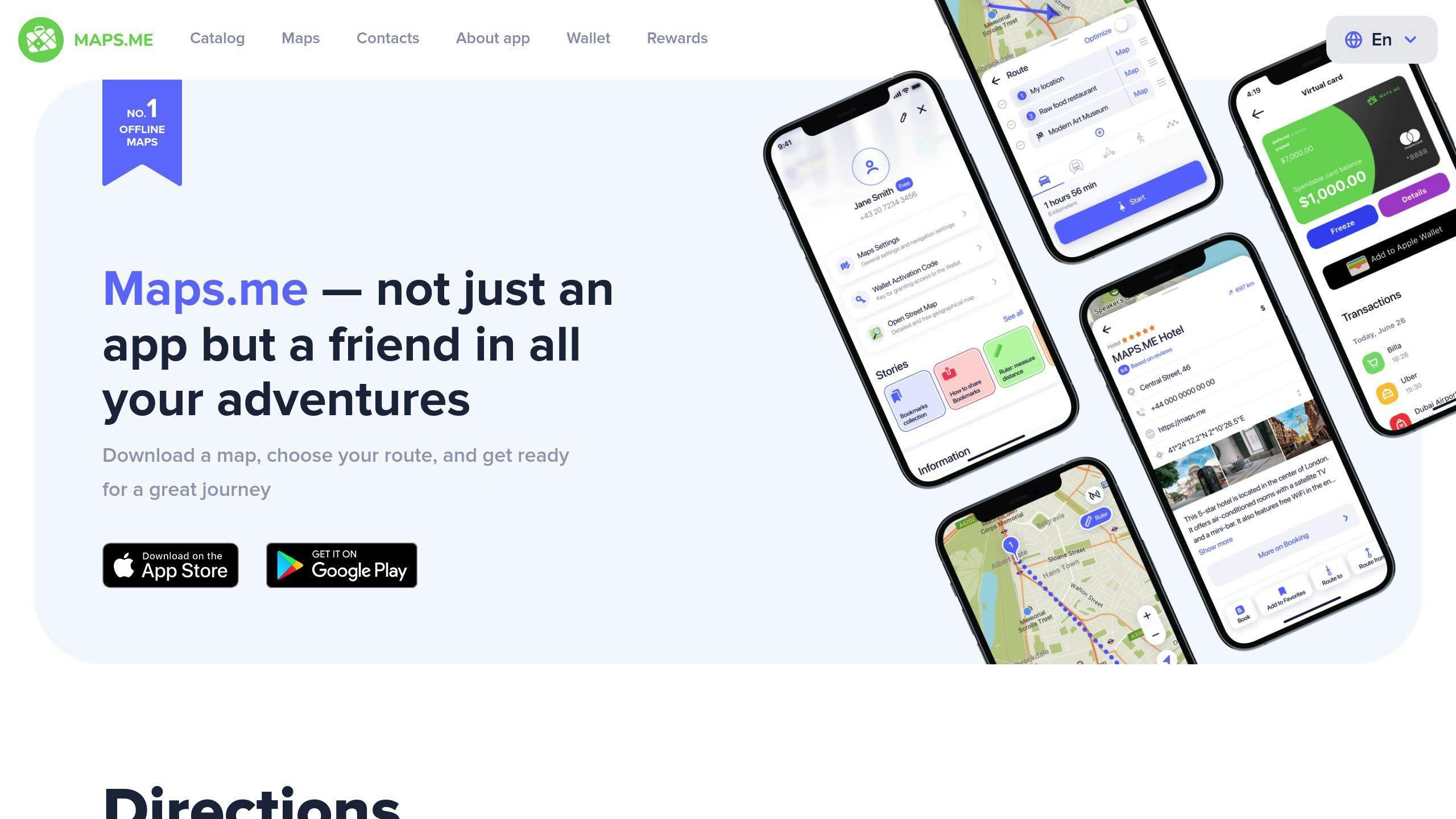
Maps.me is a navigation app trusted by more than 140 million travelers worldwide. It’s free to use and works offline, making it a go-to choice for those venturing into areas without internet access.
Offline Maps
One of Maps.me’s standout features is its offline mode. You can download detailed maps in advance, ensuring you’re covered even when you’re off the grid. The app uses OpenStreetMap data, which is regularly updated by a global network of contributors, providing accurate and detailed maps.
GPS Tracking
Maps.me supports GPS tracking that works seamlessly with its offline maps. This allows you to see your real-time location, track your movement, and navigate confidently, even in remote areas.
Topographical Details
The app includes useful topographical data like elevation, terrain features, campsites, landmarks, and water sources. These details help users plan routes and identify potential stops along the way.
Route Planning
Maps.me makes route planning straightforward. You can create custom routes, view terrain and elevation details, and even use voice-guided navigation in multiple languages. Additional features like satellite imagery and the ability to save custom waypoints make it a versatile tool for planning your adventures.
Maps.me strikes a great balance between functionality and simplicity. Its free access and user-friendly design make it a great option for casual hikers, while its detailed features cater to more seasoned adventurers. However, if you’re looking for more advanced customization options, Gaia GPS might be worth exploring.
2. Gaia GPS
Gaia GPS is a go-to choice for hikers, backpackers, and overlanders who need dependable navigation tools for off-grid adventures. Packed with advanced features, it’s designed to handle the demands of outdoor exploration.
Offline Maps
Gaia GPS lets you download various map types, such as topographical, satellite, and outdoor-specific maps. Just make sure to download them over Wi-Fi since the files can be quite large.
GPS Tracking
The app provides accurate GPS tracking even when you’re off the grid, with no need for cellular service. It also works with Apple CarPlay and Android Auto, making it a solid option for navigating in vehicles during overlanding or off-road trips [2].
Topographical Data
Gaia GPS delivers detailed topographical information, including elevation profiles, terrain features, and route stats [4]. You’ll also find data on public land boundaries, points of interest, and weather overlays - helpful tools for planning your journey.
Route Planning
With features like snap-to-trail and offline turn-by-turn navigation, Gaia GPS supports a variety of outdoor activities, including hiking, camping, backcountry skiing, and mountain biking [4][1].
While a subscription is needed to unlock all the advanced features, the app’s reliability and depth of information make it a valuable tool for serious outdoor enthusiasts [2][3].
If you’re looking for another offline navigation option with plenty of customization, consider checking out OsmAnd. It’s built with outdoor explorers in mind.
3. OsmAnd
OsmAnd is an open-source navigation app powered by OpenStreetMap data, supported by a dedicated community of contributors. It's a budget-friendly option offering great tools for off-grid navigation without needing a subscription.
Offline Maps
One of OsmAnd's key strengths is its offline map functionality. You can download detailed maps from around the world, complete with topographical details like elevation, terrain features, and points of interest such as campsites and water sources [3]. This ensures you can navigate reliably, even in areas with no internet connection.
Features and Customization
OsmAnd offers a mix of GPS tracking and flexible customization options. You can record your routes, work with GPX files, and adjust map displays to suit your needs. Some of its standout features include:
- Detailed topographical data with contour lines and elevation profiles
- Customizable map layers for terrain and landmarks
- Points of interest like campsites and water sources
- A night mode for easier viewing in low-light conditions
- Regular updates from the community to keep maps accurate [3]
Route Planning
The app's route planning tools let you design routes with multiple waypoints while providing detailed terrain insights. Thanks to its active user community, maps are frequently updated and corrected [6]. This makes OsmAnd a reliable choice for outdoor activities like hiking and camping.
While OsmAnd shines in flexibility and personalization, those looking for tools tailored to motorized off-road adventures might want to check out onX Offroad, which is covered next.
sbb-itb-f962a1b
4. Locus Map Pro
Locus Map Pro is a navigation app built for seasoned outdoor adventurers who need advanced tools for their off-grid journeys. With its premium features, it’s a go-to choice for tackling complex navigation challenges.
Offline Maps
This app offers offline access to topographic and satellite maps, OpenStreetMap data, and even lets you import custom maps. Perfect for tailoring your navigation to match your specific adventure.
GPS Tracking
Locus Map Pro uses GPS tracking and can connect with external sensors, like barometers, to provide precise altitude data, ensuring accurate route details [3]. It also supports GPX file import and export, making it easy to share or load routes.
Topographical Information
The app provides detailed elevation profiles and terrain data, giving you the tools to plan your routes with confidence. These features are especially useful when navigating through tough landscapes [3].
Route Planning
With tools like elevation profiles, track recording, waypoint management, and voice-guided navigation, Locus Map Pro is well-suited for creating and managing intricate routes. It shines during multi-day backpacking trips or remote expeditions where dependable navigation is a must.
While the app’s extensive features might take some time to learn, they offer the depth required for serious outdoor navigation [3]. For those focusing on off-road vehicle navigation, onX Offroad might be a better fit with its motorized adventure-specific features.
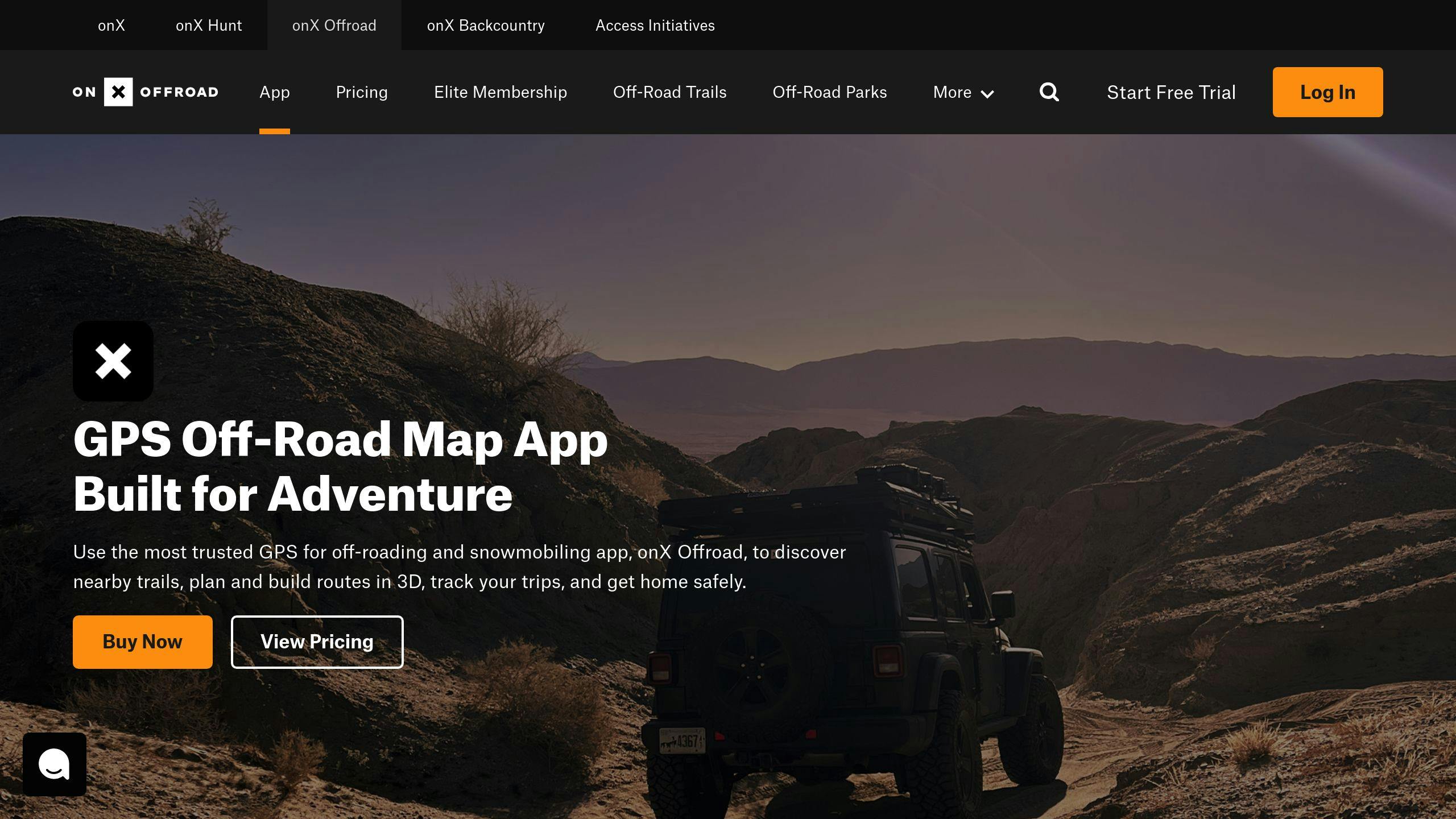
5. onX Offroad
onX Offroad stands out by catering specifically to motorized off-road adventures. It's tailored for 4x4 drivers, overlanders, and motorsport enthusiasts who need reliable navigation tools designed for rugged terrain.
Offline Maps
This app offers offline topographic, satellite, and hybrid maps, making it a dependable choice for remote areas where connectivity is limited. Keep in mind that downloading these maps can take up significant storage space, so it's best to do so over a fast internet connection before heading out [5].
GPS Tracking
With seamless integration into Apple CarPlay and Android Auto, onX Offroad displays navigation directly on your vehicle's dashboard. This setup allows for safer and more convenient navigation while driving.
Topographical Details
The app provides detailed topographical data, such as elevation profiles, slope angles, and surface types. It also highlights key points of interest like campsites, water sources, and trailheads. Additionally, it includes trail-specific details like difficulty ratings, seasonal closures, and vehicle restrictions, helping you plan better for your journey.
Route Planning
onX Offroad simplifies route planning with tools designed for off-road travel. You can create custom routes with waypoints and get turn-by-turn navigation tailored to off-road trails. Its user-friendly interface features large buttons and clear visuals, making it easy to operate even while driving. This is especially handy for navigating complex trail systems or planning multi-day trips.
With its focus on off-road navigation, onX Offroad is a go-to choice for adventurous drivers. Up next, we’ll compare these apps side by side to help you decide which one suits your needs best.
App Comparison Table
Here's a breakdown of the top navigation apps for off-grid adventures. This table highlights their features, pricing, and best use cases, helping you find the right fit for your needs.
| Feature | Gaia GPS | Maps.me | OsmAnd | Locus Map Pro | onX Offroad |
|---|---|---|---|---|---|
| Offline Maps | Yes | Yes | Yes | Yes | Yes |
| Turn-by-Turn Navigation | Yes | Pedestrian-focused | Basic directions only | Basic directions only | Yes (Off-road focused) |
| Topographical Maps | Detailed | Basic | Detailed | Detailed | Basic |
| Annual Pricing | $19.99 | Free + IAP | Free + IAP | $9.99 (one-time) | $29.99 |
| App Store Rating | 4.8/5 (22.1K) | 4.5/5 (13.4K) | 4.5/5 (2.4K) | 4.7/5 (1.4K) | 4.8/5 (2.6K) |
| Best For | All-around outdoor activities | Casual hiking and urban exploration | Hiking & cycling | Advanced navigation for complex routes | Off-road driving |
| Storage Required | 2-6 GB per region | 0.5-2 GB per region | 1-3 GB per region | 2-5 GB per region | 3-7 GB per region |
Each app has its strengths, catering to different types of users. Gaia GPS and onX Offroad stand out with high ratings, while Maps.me and OsmAnd are great budget-friendly options. Here's a quick guide to help match your needs:
- Hiking & Backpacking: Go with Gaia GPS or Locus Map Pro for detailed maps and reliable navigation.
- Off-road Driving: onX Offroad is your go-to for trail-specific navigation.
- Budget-Friendly Travel: Maps.me and OsmAnd offer solid features without breaking the bank.
- Technical Navigation: Locus Map Pro is ideal for creating and following complex routes.
The right app depends on what you need for your adventure. Whether it’s detailed topographical maps or off-road trails, there’s something here for everyone. [4]
Wrapping It Up
Exploring off-grid locations has become easier and safer with the help of modern navigation apps. Each app shines in different outdoor situations. Gaia GPS stands out with its offline features and detailed topographic maps, making it a solid choice for a variety of outdoor activities. For those diving into off-road trails, onX Offroad offers tools tailored to enhance the trail experience.
Having offline maps and turn-by-turn navigation is crucial for staying safe and efficient in remote areas. Features like map layers and weather updates also make planning and navigating much simpler. The comparison table earlier breaks down the features, helping you quickly choose the app that fits your needs.
When selecting an app, think about your activity type, storage needs (ranging from 0.5GB to 7GB per region), and budget, which can go from free to $29.99 annually. Always download maps before heading out, and use power-saving modes to keep your device running longer. Pairing these apps with traditional navigation skills and thoughtful trip planning ensures a smooth adventure.
With the right app in hand, you can explore remote areas with confidence, knowing you’re equipped for a safe and enjoyable journey.
FAQs
What is the best satellite map for hiking?
When it comes to hiking, Gaia GPS is a standout choice. It combines detailed satellite imagery with useful tools like waypoint marking and track recording. The app also supports GPX and KML file formats, making it easy to plan and share hiking routes.
What features are crucial for off-grid navigation and how do apps handle storage?
Apps like Gaia GPS and OsmAnd are designed for off-grid navigation with features such as:
- Offline maps with adjustable layers
- GPS tracking via satellite signals
- Tools for route planning
- Downloadable maps for use without internet
Storage requirements vary depending on the app and map detail, typically ranging from 0.5GB to 7GB. Some apps focus on basic maps, while others offer detailed terrain data and multiple layers for more advanced navigation.
Which app offers the best value for budget-conscious adventurers?
For those on a budget, OsmAnd is a great option. It provides free offline maps, GPS tracking, and route planning. While premium apps like Gaia GPS include extra features, OsmAnd's free version offers a solid set of tools for most outdoor enthusiasts.
Choosing the right app depends on your specific activities, storage needs, and budget. Each app has its strengths, so consider what matters most for your adventure.
